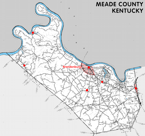
Meade county is in the Pennyrile region of Kentucky. The elevation in the county ranges from 383 to 1000 feet above sea level.
It was formed in 1824 from Breckinridge and Hardin counties. The county seat is Brandenburg.
In 2020 the county population was 30,003 in a land area of 305.42 square miles, an average of 98.2 people per square mile.
The equine population was 2,000 in the 2012 Kentucky Equine Survey.
Meade county is in the Lincoln Trail Area Development District.
Meade county was named for Captain James Meade, who was killed at the River Raisin in the War of 1812.
The original county seat, from 1824 until 1825, was Claysville.
Part of Fort Knox is in the county.


SEARCH THE KENTUCKY ATLAS & GAZETTEER
© 2026 David C. Elbon
