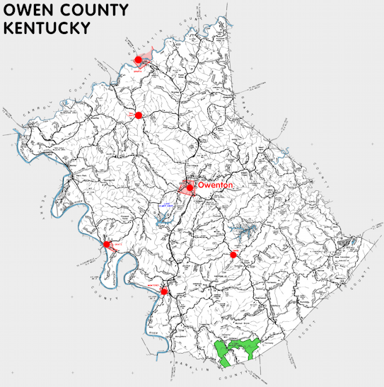
Owen county is in the Outer Bluegrass region of Kentucky. The elevation in the county ranges from 425 to 1000 feet above sea level.
It was formed in 1819 from Franklin, Gallatin, Scott, and Pendleton counties. The county seat is Owenton.
In 2020 the county population was 11,278 in a land area of 351.10 square miles, an average of 32.1 people per square mile.
The equine population was 600 in the 2012 Kentucky Equine Survey.
Owen county is in the Northern Kentucky Area Development District.
Owen county was named for Abraham Owen, a Kentucky legislator who was killed in the War of 1812.


SEARCH THE KENTUCKY ATLAS & GAZETTEER
© 2026 David C. Elbon
