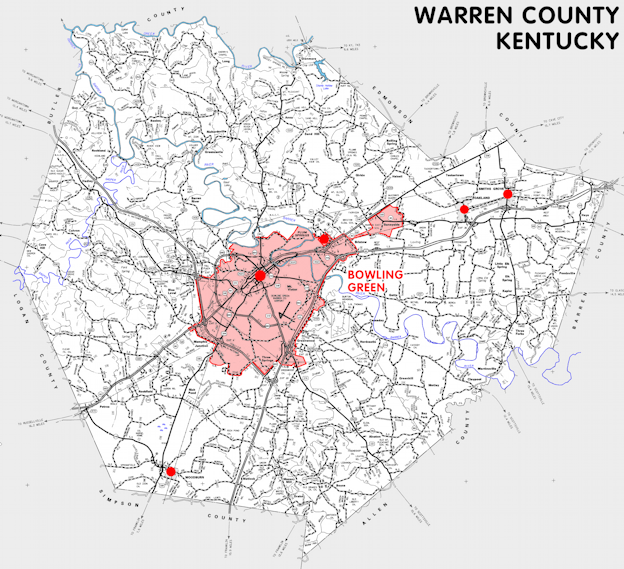
Warren county is in the Pennyrile and Western Coal Field regions of Kentucky. The elevation in the county ranges from 395 to 955 feet above sea level.
It was formed in 1797 from Logan county. The county seat is Bowling Green. Warren county was a source of Barren (1799), Allen (1815), Simpson (1819), and Edmonson (1825) counties.
In 2020 the county population was 134,554 in a land area of 541.60 square miles, an average of 248.4 people per square mile.
The equine population was 4,500 in the 2012 Kentucky Equine Survey.
Warren county is in the Bowling Green metro statistical area and the Barren River Area Development District.
Warren county was named to honor General Joseph Warren, who was killed at the Battle of Bunker Hill in 1775.


SEARCH THE KENTUCKY ATLAS & GAZETTEER
© 2026 David C. Elbon
