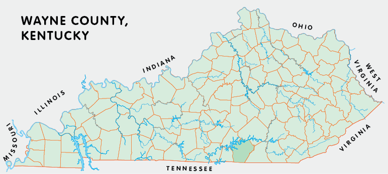
Wayne county is in the Pennyrile and Eastern Coal Field regions of Kentucky. The elevation in the county ranges from 723 to 1788 feet above sea level.
It was formed in 1800 from Cumberland and Pulaski counties. Wayne county was a source of Russell (1826), Clinton (1836), and McCreary (1912) counties. The county seat is Monticello.
In 2020 the county population was 19,555 in a land area of 458.17 square miles, an average of 42.7 people per square mile.
The equine population was 1,900 in the 2012 Kentucky Equine Survey.
Wayne county is in the Lake Cumberland Area Development District. It is in the Appalachian region according to the Appalachian Regional Commission.
Wayne county was named for Anthony Wayne, who served in the American Revolution.


SEARCH THE KENTUCKY ATLAS & GAZETTEER
© 2026 David C. Elbon
