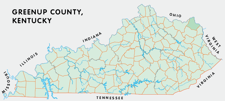
Greenup county is in the Eastern Coal Field region of Kentucky. The elevation in the county ranges from 485 to 1200 feet above sea level.
It was formed in 1804 from Mason county. Greenup county was a source of Lawrence (1822), Carter (1838), and Boyd (1860) counties. The county seat is Greenup.
In 2020 the county population was 35,962 in a land area of 344.40 square miles, an average of 104.4 people per square mile.
The equine population was 1,400 in the 2012 Kentucky Equine Survey.
Greenup county is in the Huntington-Ashland metro statistical area and the Fivco Area Development District. It is in the Appalachian region according to the Appalachian Regional Commission.
Greenup county was named for Christopher Greenup, the third governor of Kentucky.


SEARCH THE KENTUCKY ATLAS & GAZETTEER
© 2026 David C. Elbon
