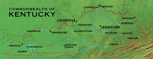
Select a city from the map for more information. Physiographic and county outline maps are also available.
Kentucky is located in the central United States. In 2020 it had a population of 4,505,836 in a land area of 39,486 square miles, a mean of 114 people per square mile. The capital of Kentucky is Frankfort.
More information about Kentucky is available.
SEARCH THE KENTUCKY ATLAS & GAZETTEER
© 2026 David C. Elbon
