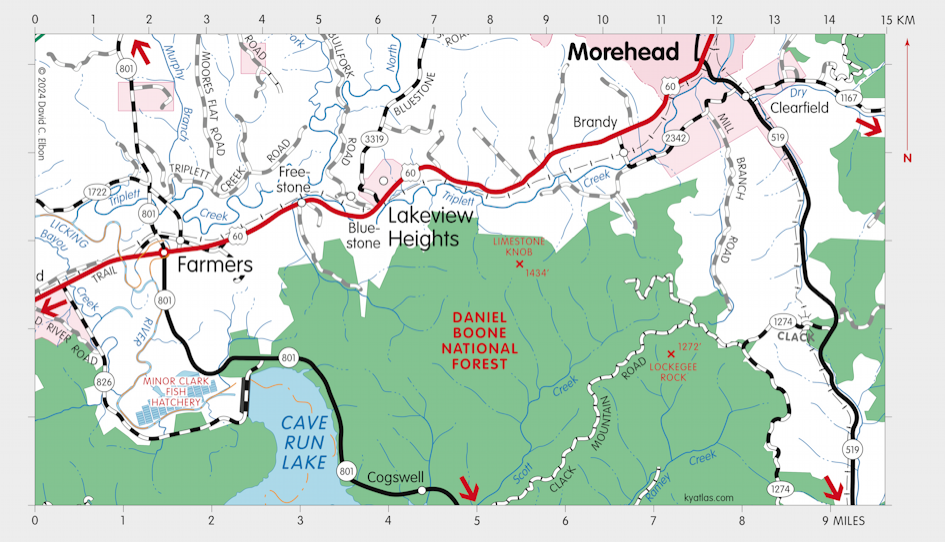
Farmers, Kentucky

Farmers is a Rowan county community on the Licking River about seven miles southwest of Morehead. Originally known as Licking City, Cross Roads, and Confederate Crossroads, it was settled before 1850. The site was in Fleming county before the formation of Rowan in 1856. It was important for saw mills and grew considerably after the arrival of the Lexington and Big Sandy Railroad in the 1880s. It was the largest town in the county through the nineteenth century.
It was incorporated as Confederate City in 1873, renamed Farmers in 1882, and dissolved circa 1933.
The Licking post office opened in 1837 and closed in 1839. The Farmers post office opened in 1849.
The population of the Farmers census designated place was 284 in 2010.
SEARCH THE KENTUCKY ATLAS & GAZETTEER
© 2026 David C. Elbon