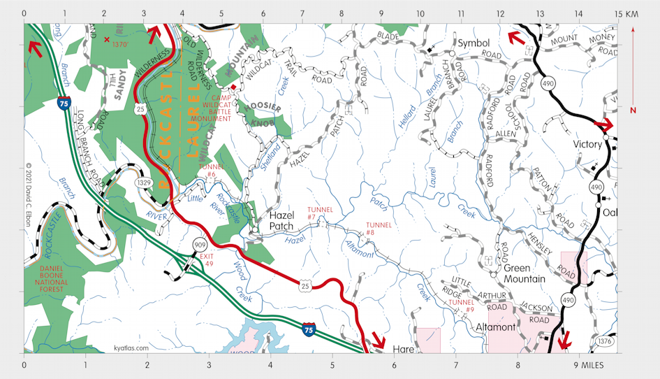
Hazel Patch, Kentucky

Hazel Patch was a Laurel county community about ten miles northwest of London. The original location was several miles to the east on Hazel Patch Creek at the junction of the pioneer Boone's Trace and Skagg's Trace. The name came from the plentiful hazel at the site. John Woods built a blockhouse in the vicinity in the late eighteenth or early nineteenth century. A Hazelpatch Station was operated by the railroad from the late nineteenth to early twentieth century at the latter site.
A post office operated at the original site as Hazlepatch or Rice's from 1805 to 1831. The post office opened at the new site as Hazle Patch, with a variant spelling, in 1867. The name changed to Hazelpatch or Hazel Patch sometime later, although it may never have been officially recognized. The post office closed in 1974.
About three miles to the north is the site of the Civil War Camp Wildcat battle.
SEARCH THE KENTUCKY ATLAS & GAZETTEER
© 2026 David C. Elbon